New FEMA flood maps for Miami Beach take effect Feb. 19; city must update its rules first
A first vote Nov. 18 adopts the federal flood maps and rules the city needs to keep flood insurance available and its 25% premium discount.
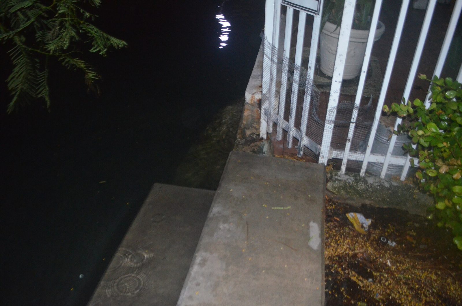
New federal flood insurance rate maps for Miami Beach take effect Friday, Feb. 19, 2027, and the city has to update its floodplain rules before then to keep residents eligible for federally backed flood insurance. The City Commission takes the first of two votes on those changes Wednesday, Nov. 18.
The Federal Emergency Management Agency told the city in a certified letter dated Aug. 19 that its new Flood Insurance Study and flood insurance rate maps for Miami-Dade County and its cities were final. FEMA received no appeals or other comments on the preliminary maps during the 90-day appeal period, the letter says.
Communities that don’t adopt the required rules by the maps’ effective date are suspended from the National Flood Insurance Program, the letter says. According to FEMA, insurers must use the new map panel codes for all new policies and renewals.
What the ordinance does
The ordinance (item R5 X), sponsored by Commissioner Laura Dominguez and set for a first-reading hearing at 10:50 a.m., amends the city’s flood code, Chapter 54. It adopts the new study and maps by reference, takes in federal floodplain standards, updates definitions and the duties of the city’s floodplain administrator, and keeps the code consistent with recent changes to state law and the Florida Building Code, according to the building department’s memo. A consultant for the Florida Division of Emergency Management’s floodplain office reviewed the changes.
The memo says the update also protects the city’s standing in FEMA’s Community Rating System. Miami Beach holds a Class 5 rating, which gives eligible policyholders up to a 25% discount on National Flood Insurance Program premiums.
The memo does not say which neighborhoods or properties change flood zones under the new maps. It lists the cost as “TBD.” The city marks the item as a “Residents Right to Know” item.
A second vote would follow at a later meeting. The commission meets at 8:30 a.m. at City Hall, 1700 Convention Center Drive.
Neighbors' comments
Comments are for people who live in Miami Beach, Surfside, Bal Harbour, Bay Harbor Islands, North Bay Village or Sunny Isles Beach. Keep it civil and on topic; the editor reviews first comments.