Rip currents through Wednesday, and forecasters now see 2 to 4 inches of rain by Friday
The Weather Service warns of dangerous rip currents on Miami-Dade beaches through Wednesday evening. Flash flooding risk is now level 2 of 4 for Tuesday through Thursday, with urban flooding the main concern.
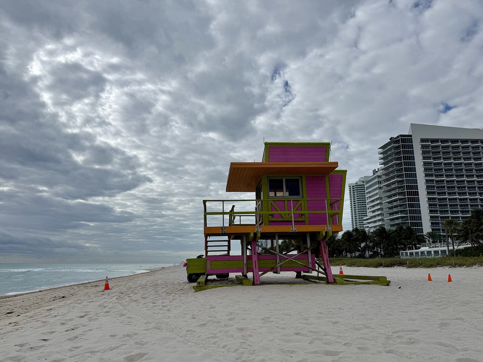
Update (Nov. 16, 9:12 p.m.): The National Weather Service’s Monday evening forecast discussion, issued at 6:56 p.m., says Wednesday is likely to be the wettest day, with 1 to 2 inches possible Tuesday afternoon alone. Forecasters still expect 2 to 4 inches across the Miami-Dade, Broward and Palm Beach metro areas through Friday morning, with localized pockets of 6 to 8 inches or more possible. A flash flood watch has been issued for metro Palm Beach County from Tuesday evening through Thursday; Miami-Dade is not under a watch so far. Gusts could reach 35 mph right along the ocean, seas in the Gulf Stream could build to 12 to 14 feet or more midweek, and the high surf advisory issued so far covers Palm Beach and Broward beaches, not Miami-Dade’s. The rip current statement for Miami-Dade beaches still runs through 7 p.m. Wednesday. Tonight’s forecast for Miami Beach calls for showers after midnight, then rain chances of about 60% Tuesday, 76% Tuesday night and 84% Wednesday, with east winds of 22 to 25 mph.
Earlier update (Nov. 16, 12:19 p.m.): Forecasters have raised the flooding threat. The Weather Prediction Center now has the Miami-Dade, Broward and Palm Beach metro areas in a slight risk, level 2 of 4, for excessive rainfall on Tuesday, Wednesday and Thursday, up from the lowest level on Sunday, according to the National Weather Service’s Monday morning forecast discussion. The Weather Service expects 2 to 4 inches of rain across the area through Friday morning, with isolated pockets of 6 to 8 inches or more in a reasonable worst case, and says urban flooding is the main concern because the ground is already wet. No flood watch had been issued as of Monday’s discussion. The forecast for Miami Beach calls for rain chances of 80% Tuesday and 90% Wednesday, with east winds gusting near 30 mph.
The discussion also says small craft advisories cover the Atlantic and Biscayne Bay through 7 p.m. Wednesday, that surf could approach high surf advisory levels midweek and that significant beach erosion is possible. The rip current statement still runs through 7 p.m. Wednesday.
Earlier update (Nov. 16, 7:22 a.m.): The National Weather Service extended its rip current statement for the Miami-Dade, Broward and Palm Beach coasts through 7 p.m. Wednesday, a day longer than first announced, in a statement issued at 5:18 a.m. Monday. The Weather Service’s surf zone forecast rates the rip current risk on Miami-Dade’s Atlantic beaches high both Monday and Tuesday, with surf of 2 to 3 feet Monday building to 5 to 7 feet Tuesday. Monday’s forecast calls for sunshine and a high near 81 with northeast winds near 18 mph; Tuesday brings an 82% chance of showers and thunderstorms with east winds near 24 mph.
The National Weather Service in Miami has issued a rip current statement for the coastal parts of Miami-Dade, Broward and Palm Beach counties, warning of dangerous rip currents from Monday morning through Tuesday evening. The statement went out at 2:21 p.m. Sunday.
The Weather Service’s surf zone forecast puts Monday’s rip current risk for Miami-Dade’s Atlantic beaches at high, with surf of 2 to 3 feet, up from a moderate risk and surf of a foot or less on Sunday afternoon. Forecasters wrote in their Sunday discussion that life-threatening rip currents and rough surf could last through much of the work week, and that Atlantic seas could build to 5 to 8 feet on Monday, rough enough to be hazardous for small boats.
Rip currents can carry even strong swimmers away from shore. The Weather Service advises swimming near a lifeguard. Anyone caught in one should stay calm and float rather than fight it, swim parallel to the shore to get out of it, and face the shore and call or wave for help if they can’t escape.
Wind and rain all week
The breeze is the other half of the story. Monday should be sunny with a high near 81, but northeast winds of 14 to 18 mph will gust to about 23 mph, according to the forecast for Miami Beach. Showers become possible after 11 p.m. Monday, and rain chances run 81% to 88% from Tuesday through Thursday, with showers and thunderstorms and northeast winds of 23 to 29 mph gusting as high as 33 mph on Thursday. Rain chances ease to 55% Friday and about 40% Saturday.
The Weather Prediction Center has South Florida’s east coast in a marginal risk, the lowest of four levels, for excessive rainfall from Tuesday through Thursday, the Sunday discussion says. It expects 1 to 1.5 inches widely, with a reasonable worst case of several inches in isolated spots. No flood watch had been issued as of Sunday afternoon. CBS News Miami’s forecast also flagged the chance of flash flooding later in the week if downpours repeat over the same areas.
Forecasters blame a tight squeeze between low pressure moving east from the Gulf and strong high pressure over the eastern U.S., followed later in the week by a stalled front to the south and a possible low near the Bahamas.
Beach conditions and any new alerts are posted in the conditions box on the Red Sidewalks home page.
Sources
- National Weather Service Miami — Area Forecast Discussion (6:56 p.m., Nov. 16, 2026)
- National Weather Service — forecast for Miami Beach (Nov. 16, 2026, evening)
- National Weather Service Miami — Area Forecast Discussion (5:46 a.m., Nov. 16, 2026)
- National Weather Service — forecast for Miami Beach (Nov. 16, 2026)
- CBS News Miami — South Florida to see increasing rain, flood threat starting Tuesday (Nov. 16, 2026)
- National Weather Service Miami — Rip Current Statement (issued 5:18 a.m., Nov. 16, 2026, until 7 p.m. Wednesday)
- National Weather Service Miami — Surf Zone Forecast (3:31 a.m., Nov. 16, 2026)
- National Weather Service Miami — Rip Current Statement for coastal Miami-Dade, Broward and Palm Beach counties (issued 2:21 p.m., Nov. 15, 2026)
- National Weather Service Miami — Surf Zone Forecast (3:11 p.m., Nov. 15, 2026)
- National Weather Service — forecast for Miami Beach (updated 3:16 p.m., Nov. 15, 2026)
- National Weather Service Miami — Area Forecast Discussion (Nov. 15, 2026)
- CBS News Miami — After a cool, sunny Sunday, South Florida faces days of heavy rain and potential flooding (Nov. 15, 2026)
See something wrong? Tell us.

Neighbors' comments
Comments are for people who live in Miami Beach, Surfside, Bal Harbour, Bay Harbor Islands, North Bay Village or Sunny Isles Beach. Keep it civil and on topic; the editor reviews first comments.